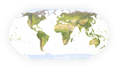
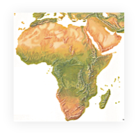
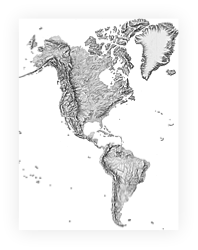
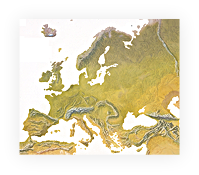
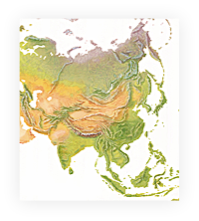
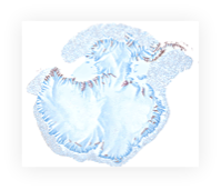
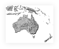
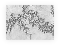
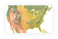
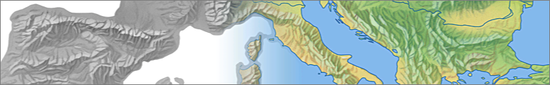
This website offers an archive of scanned manual shaded relief for use by digital mapmakers. Much of the relief art found here is georeferenced and customized to fit modern drainage vectors. All shaded relief data are free and useable for commercial and other purposes.
Shaded relief data are from various contributors and artists.
The Shaded Relief Archive is maintained by Tom Patterson, US National Park Service (retired), and Bernhard Jenny, Monash University, Melbourne.
Shaded relief data are from various contributors and artists.
The Shaded Relief Archive is maintained by Tom Patterson, US National Park Service (retired), and Bernhard Jenny, Monash University, Melbourne.
Our dual goals are giving cartographers a stylish option to generic digital shaded relief—manual relief often provides a clearer picture of major terrain features, especially at small scales, as shown in this comparison. And scanning the best hand-drawn relief before it is permanently lost. We are in a race against time. Mapping organizations having now shifted to digital production are discarding photomechanical materials, including manual shaded relief. Much of this beautiful art deserves to be used by future mapmakers.
Some shaded relief images are georeferenced and adjusted to fit the drainage network of the Natural Earth vector data. Georeferenced data are stored in the GeoTIFF file format with a world file, and reference coast lines in shape format are provided for each georeferenced image.